Historical and modern-day images reveal how the Vancouver neighbourhood has changed over the years
In 2013, the Vancouver Courier launched our Vancouver Special neighbourhood series, which featured stories and photos to illustrate what made each 'hood in the city distinct.
As part of that project, photographer Dan Toulgoet documented how times have changed in Killarney by matching archived images from the Vancouver Public Library and the City of Vancouver of streets, buildings and neighbourhhood haunts with their present day incarnations. We're reposting those photos for throwback Thursday.
The Killarney edition of the Vancouver Special series can be found here.
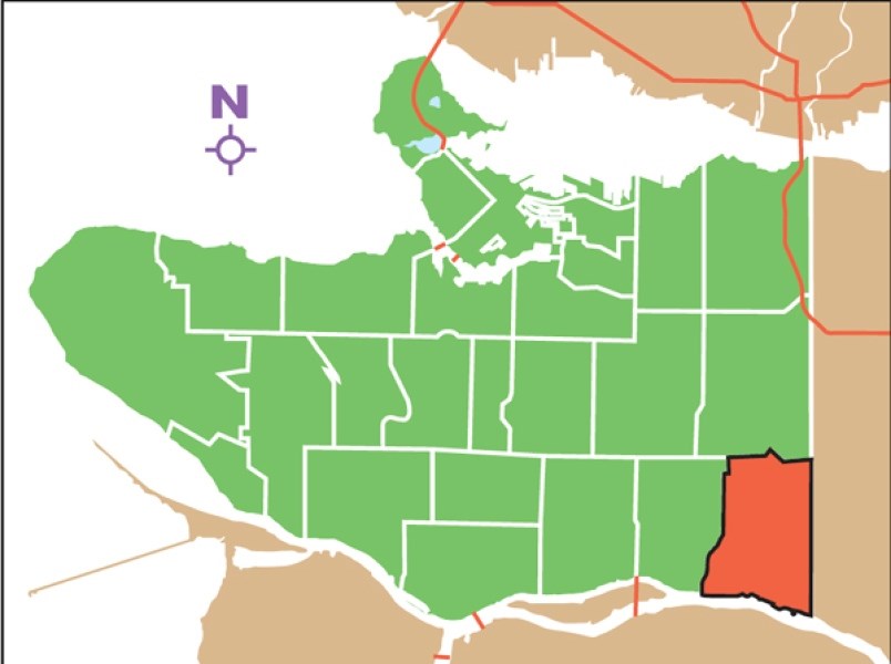
Killarney then and now
1) The tugboat "Kildonan" in the Fraser River near the Dominion Mill in 1925 compared to the site of the former Dominion Mill as seen from the Richmond side of the Fraser River in 2013.
2) Ground view of the burner at Bloedel, Stewart and Welch Limited Shingle Mill at the foot of Boundary Road in Vancouver in 1941 compared to, in 2013, the south end of Boundary Road where lumber mills once lined the Fraser River.
3) A historical photo of the former municipal garbage dump at the south end of Kerr Road near Southeast Marine Drive compared to 2013 — the garbage dump was transformed over several decades to become Everett Crowley Park, a popular dog walking spot.
4) Mothers and children protest at Killarney and East 54th Avenue, the site of an accident in which a six-year-old boy was seriously hurt after being hit by a car compared to the corner of East 54th Avenue and Killarney in 2013.
5) A rundown house in Killarney in 1966 compared to a “Vancouver Special” house on the site in 2013.
6) A historical image of the view looking northeast from the south side of the Fraser River towards Bloedel, Stewart & Welch Limited — this photo shows the shingle mill at the south foot of Boundary Road. Compare that to the view in 2013 — looking northeast to the area where the old shingle mill once stood at the south end of Boundary Road.
7) An old photo of the view of the rail line at Kerr Street and Kent Avenue compared to a 2013 image of the area surrounding the rail line at the same location.
8) An old photo looking north towards the intersection of Marine Drive and Kerr Street. The intersection at Kerr Street at Marine Drive looked similar in 2013 as it did decades earlier.