Think of it as a city-wide science project.
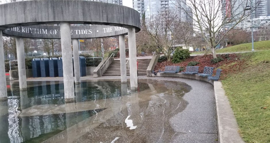
Every morning from now until January 7, the City of Vancouver is asking people to take and share photos of the king tides creeping up and over Vancouver’s shoreline.
King tides are special because, as their name suggests, they create extreme high tides that happen twice a year when the sun and moon’s gravitational forces reinforce one another.
But what makes them even more special today is that they can give city planners an idea of what the city will be facing as sea levels rise due to climate change.
“They help us visualize what normal sea levels may look like in the future,” the city’s website says.
The city wants people to take photos of the shoreline at high tide January 3 to 7 and upload it to the Sea Level Rise StoryMap on its website. Any waterfront locations in Vancouver are appreciated but the StoryMap has locations that best help the city validate its flood-modelling data.
Tomorrow's #KingTide is at 8:06am - if you're by the shoreline, take a photo and upload it to https://t.co/b5kVz326OV and help @CityofVancouver visualize how our shoreline is changing with #SeaLevelRise pic.twitter.com/fHRuZ40LUv
— Vancouver Park Board (@ParkBoard) January 4, 2018
People should take photos when the tides are at their highest:
• Jan. 5 at 8:46 a.m.
• Jan. 6 at 9:29 a.m.
• Jan. 7 at 10:10 a.m.
Photos of incredible king tides from around the world
Christmas lights and the king tide https://t.co/31WtYsWOag
— EarthSky (@earthskyscience) December 9, 2017
Mimi Ditchie captured this photo at low tide this past Monday - the day of the king tide at Pismo Beach, California - following Sunday's supermoon. pic.twitter.com/opr6wI2NQd