While Vancouverites are soaking up the glorious spring sunshine, other parts of B.C. are preparing for late season snow.
Environment Canada has issued a snowfall warning for South Peace River with a low-pressure system expected to move southeastward across B.C. today and into Alberta tonight.
The weather agency says as the system passes to the south, a cool northeast wind will develop causing rain to change to snow this evening.
“Snowfall accumulations of 2 to 5 cm are expected with the higher amounts near the Rockies,” Environment Canada states.
“Near 10 cm is forecast for Tumbler Ridge by early Saturday morning.”
Snowfall warning in effect for the B.C. South Peace River https://t.co/vNVcLOKBAn #bcstorm
— ECCC Weather British Columbia (@ECCCWeatherBC) April 26, 2019
A special weather statement is also in effect for Pine Pass - Highway 97, with 5 to 10 cm of late snowfall expected.
Up to 5 cm of snow is predicted to fall tonight over Pine Pass where the transition from rain to snow will occur the earliest.
“5 to 10 cm of snow is expected for the Yoho Park - Kootenay Park region and higher elevations of the Trans-Canada highway including Rogers Pass. Kootenay Pass and the Elk Valley are also expected to receive 5 cm of snow later Saturday,” Environment Canada states.
Late season SNOW is in the forecast with 5 to 10 cm expected on Saturday for #RogersPass #BCHwy1 #PinePass #BCHwy97 #Yoho and Elk Valley including #Fernie. Be sure to check @DriveBC before heading out on Sat. Full details here: https://t.co/QgEfWGgpil #BCstorm pic.twitter.com/TjB5x5Dmh8
— ECCC Weather British Columbia (@ECCCWeatherBC) April 25, 2019
Flurries have also been forecast for Prince George. Environment Canada is calling for clouds tonight but a 60 per cent chance of snow showers which will turn into light snow overnight with a low of 0 C. Saturday will see snow in the morning, but will change to showers ending near noon with a mix of sun and cloud. Only 2 cm of snow is predicted.
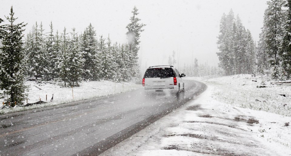
Motorists are encouraged to be prepared for winter driving conditions and consult DriveBC for road conditions before travelling.
Road conditions are available at Drive BC.