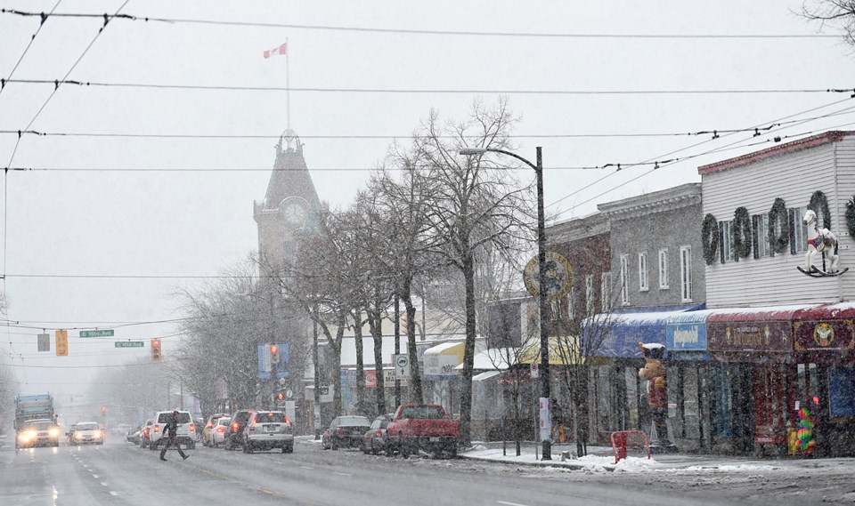
BRRRR. This week’s cold snap continues, as snow returns to the immediate forecast for Metro Vancouver.
A special weather statement issued early Thursday morning by Environment Canada warns of overnight snowfall continuing into Friday, as well as “bitterly cold arctic outflow winds Friday night and Saturday.”
The warning covers the City of Vancouver and all surrounding Metro Vancouver communities.
We can expect another round of frigid air, this time with “increasing moisture” that will bring us those predicted snows to most of the South Coast beginning overnight.
Those snows are expected to carry on into Friday, and most areas “will receive at least a few centimetres of accumulation by Saturday morning,” cautions Environment Canada.
Some areas will likely see even more snow: “The most recent weather models suggest that the areas favoured for higher accumulations will be East Vancouver Island, southern sections of Inland Vancouver Island, portions of Greater Victoria and the Fraser Valley,” notes
And then, when the snow eases Friday night, the arctic outflow winds kick in. The hardest hit areas for the cold blast will be over Howe Sound-Whistler, the Fraser Valley, Greater Victoria and the southern Gulf Islands. These areas will experience bitterly cold wind chill values and reduced visibilities in blowing snow.
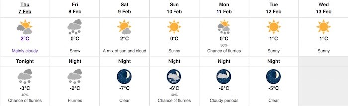
Daytime temperatures will hang around the 0-2C range for the next few days, with overnight lows ranging from -2 to -7C.